The Boise
Civic Path.
A connected route.
A richer life along the way.
Boise already has many of the pieces: neighborhood paths, the Greenbelt, parks, and civic landmarks. The Civic Path imagines connecting them into a continuous, protected route through the city.
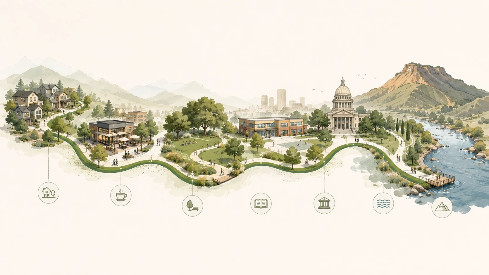
Homes, everyday destinations, civic places, the river, and the foothills—connected as part of a shared journey. This illustration shows a relationship between places; it is not a geographic route map.
Build the spine.
Strengthen the places.
A route becomes part of city life when it carries people somewhere they want to go: to a neighborhood café, a library, a park, or the river. Each connection makes those places easier to reach. Each place gives people another reason to use the route.
The ambition is a protected walking and cycling network with a recognizable civic path through it—a sequence of places that helps people experience Boise as a connected whole.
Room to move.
Reasons to stay.
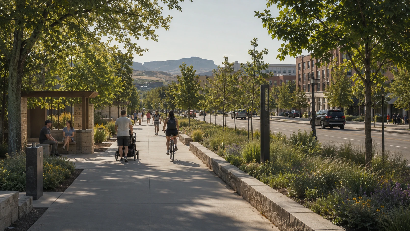
Shade, planting, and a comfortable place to sit make a route useful for more than getting from one end to the other. They give people room to pause, meet someone, or spend time outside.
Safer crossings carry the connection through busy streets. Good public places make the journey worth taking.
Explore the 11th & River crossing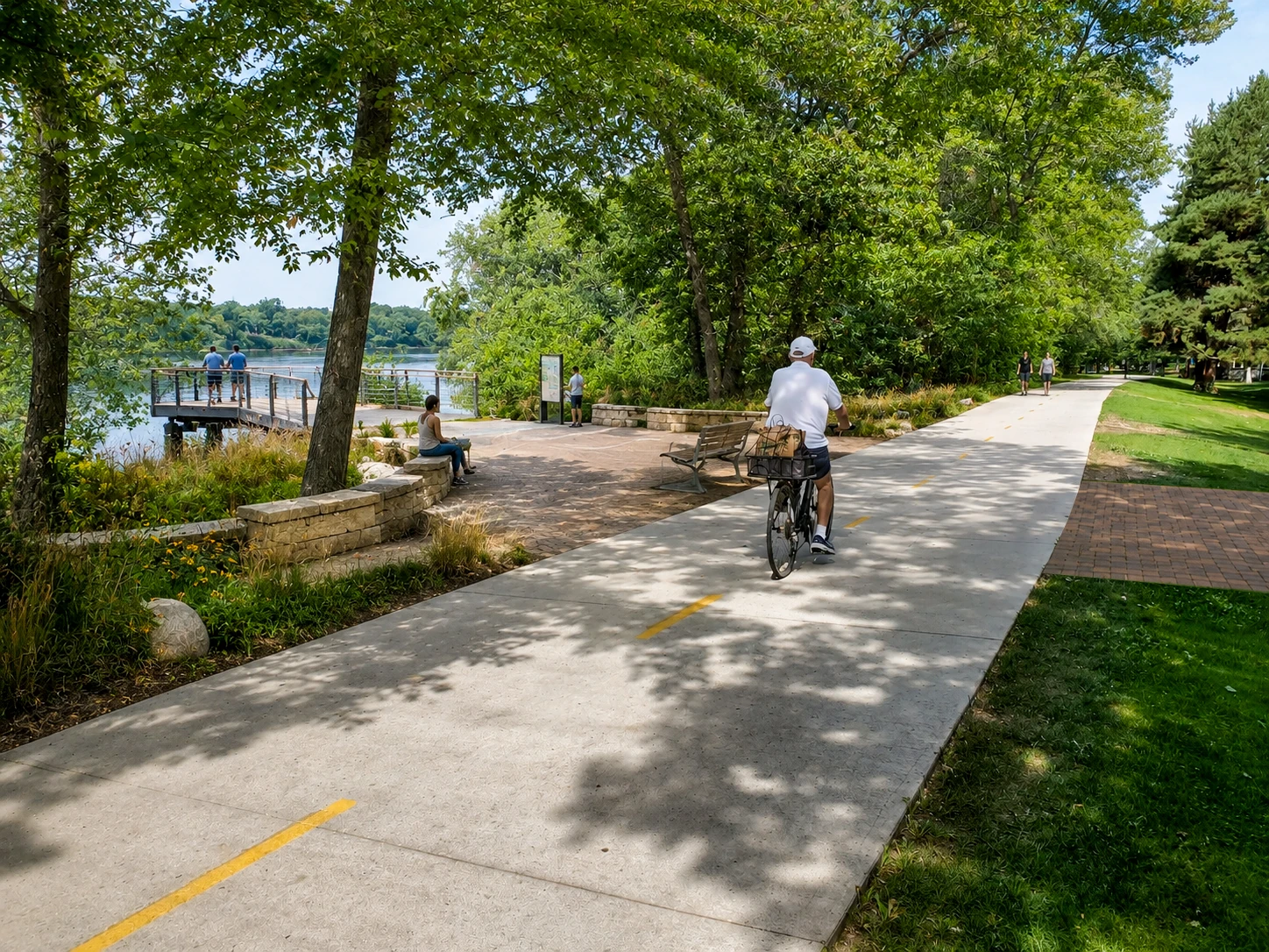
A place to arrive.
The Greenbelt is already one of Boise’s great shared places. A small overlook, shade, and seating could give people more ways to enjoy the river while keeping the path clear for those passing through.
The River Pier concept shows how a modest place along a route can become a destination of its own.
Start with
the missing connections.
The larger vision gives the work a direction. Practical progress begins with specific gaps: a difficult crossing, an interrupted path, or a nearby destination that remains hard to reach.
Our developing pathways work starts with documenting those conditions, learning from people who use the routes, and identifying connections to explore with landowners, public agencies, and other partners.
The Civic Path is a developing vision. Its route and individual concepts would need further study, community input, and coordination. The illustrations do not represent approved or funded projects.
Discuss a connection or contribute local knowledgeFollow the work.
Weekly essays about place, public life, and Boise’s future. Occasional updates on Table Rock, Civic Path, the youth docuseries, and our nonprofit’s work.
Choose either or both. You can change your preferences or unsubscribe using the links in our emails.